Crossing the Antarctic Polar Circle is a milestone few ever achieve. An expedition cruise to the Polar Circle takes travellers south of the Equator to 66°33 (approx as the circle is perpetually changing).
The Polar Circle is the northernmost latitude in the southern hemisphere that experiences a 24 hour period where the sun remains above the horizon. This happens during the summer solstice in December and is called the midnight sun.
Polar Circle Overview
Geography & Climate
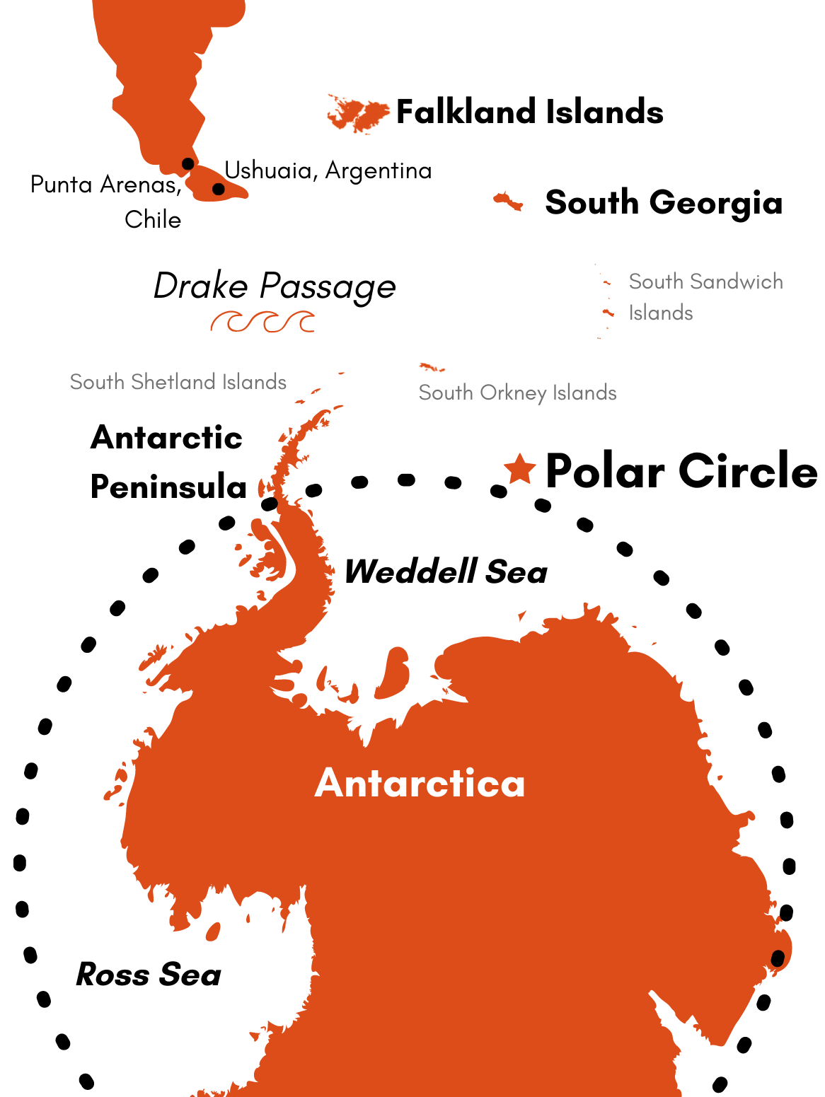
The Polar Circle covers a huge 4% of the Earth’s total surface and around 20,000,000 km2. The vast majority of the Antarctic continent falls within the polar circle with the major exception being the northern half of the Antarctic Peninsula.
Each voyage that attempts to reach the Polar Circle is subject to the ice cover and unpredictable weather conditions. The further south you travel, the colder it gets. You can expect average temperatures of 1 °C on the day your cross the circle.
Wildlife
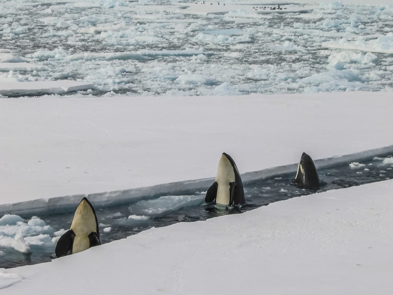
As the map indicates, the Polar Circle covers a huge area. Wildlife will depend greatly on which part of the circle you are exploring but can include whales, southern elephant seals, seals, and penguins.
See individual pages for the Ross Sea and the Weddell Sea to learn more about those destinations.
Activities
Activities within the Polar Circle will be weather dependent but can include a range of options including exploring islands if landing is possible and zodiac cruises along the coves and bays south of the circle.
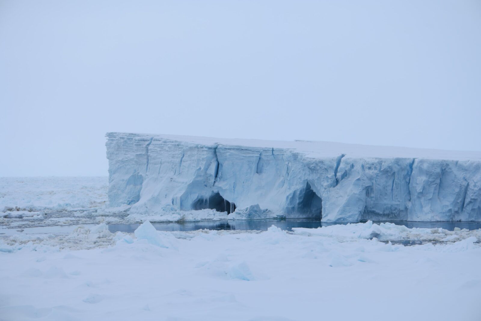
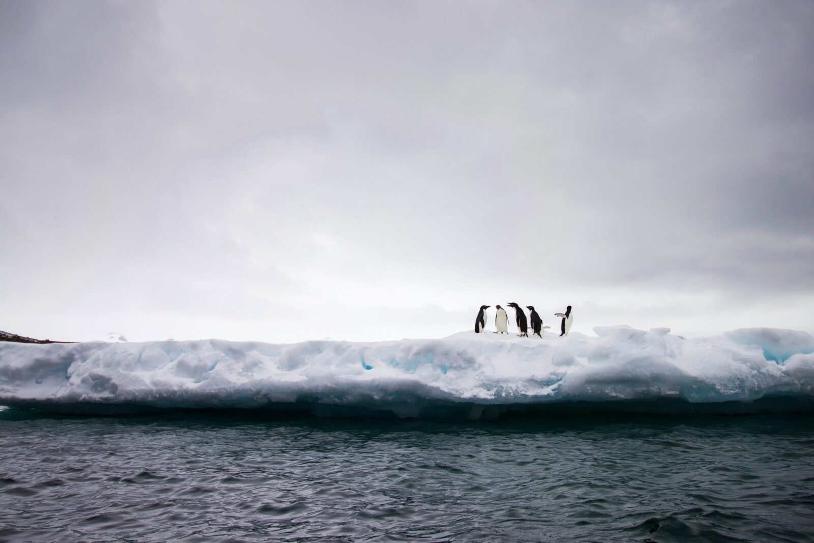
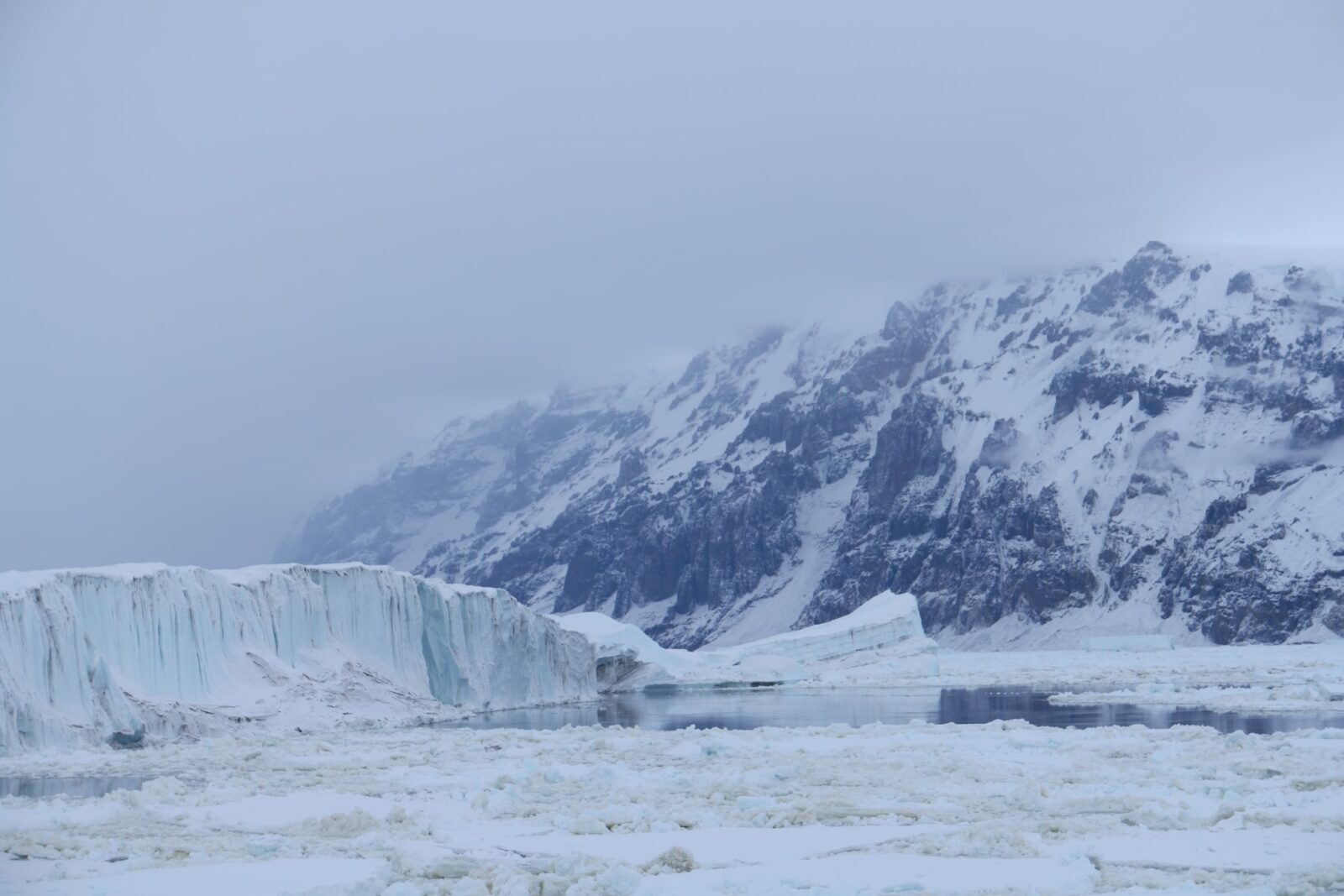
Location Highlights
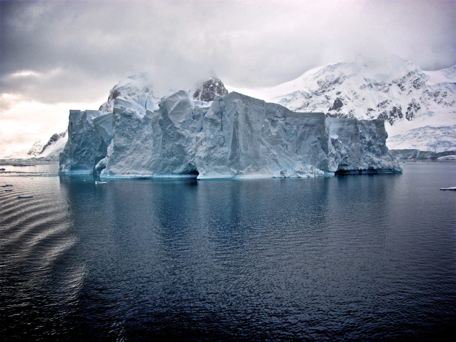
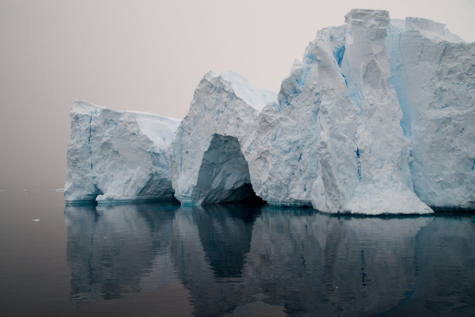
Crossing the Antarctic Circle is both a memorable experience and impressive achievement, as few travellers reach so far south. Weather conditions on your voyage will determine if you can cross this famed line at 66°33´ S. Conditions permitting, you can take pride in knowing you’ve made it to a part of the world visited by very few people. This is raw Antarctica, home of the midnight sun, Weddell seals, and your best chances of encountering sea ice – the foundation of the Antarctic marine ecosystem.
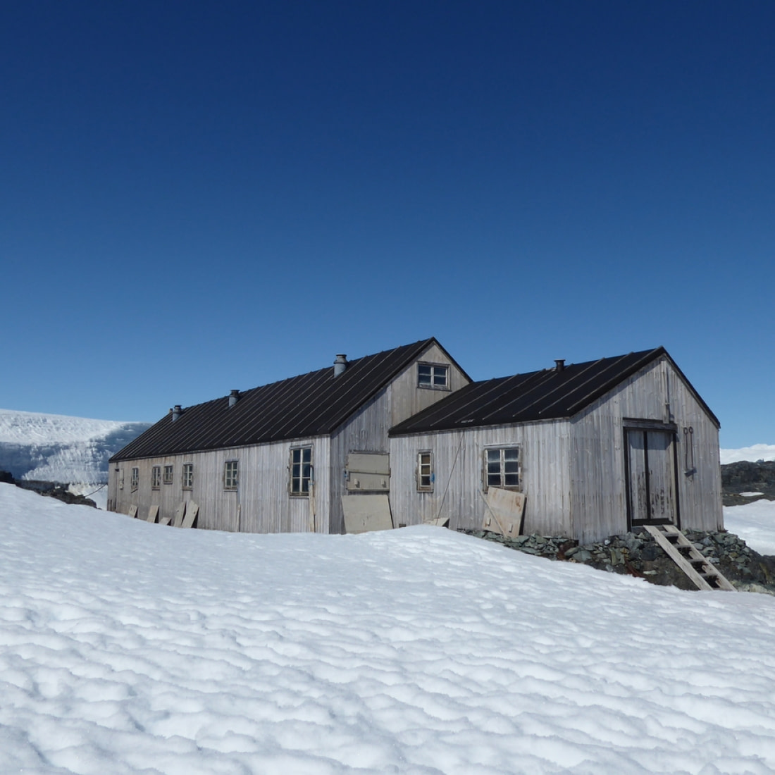
Detaille Island
Located in the Lallemand Fjord, off the Loubet Coast, Detaille Island hut was established in 1956 as a British science base used primarily for mapping, geology and meteorology as well as to contribute to the science programmes of the International Geophysical Year in 1957. Due to the quick departure of the scientists, and the necessity that they take little with them, Base W on Detaille Island is a fantastic preserved time capsule of Antarctic life in the 1950’s. The original purpose of the base was to host dog-sledging surveys which planned to cross the sea ice to the nearby Antarctic Peninsula.

